
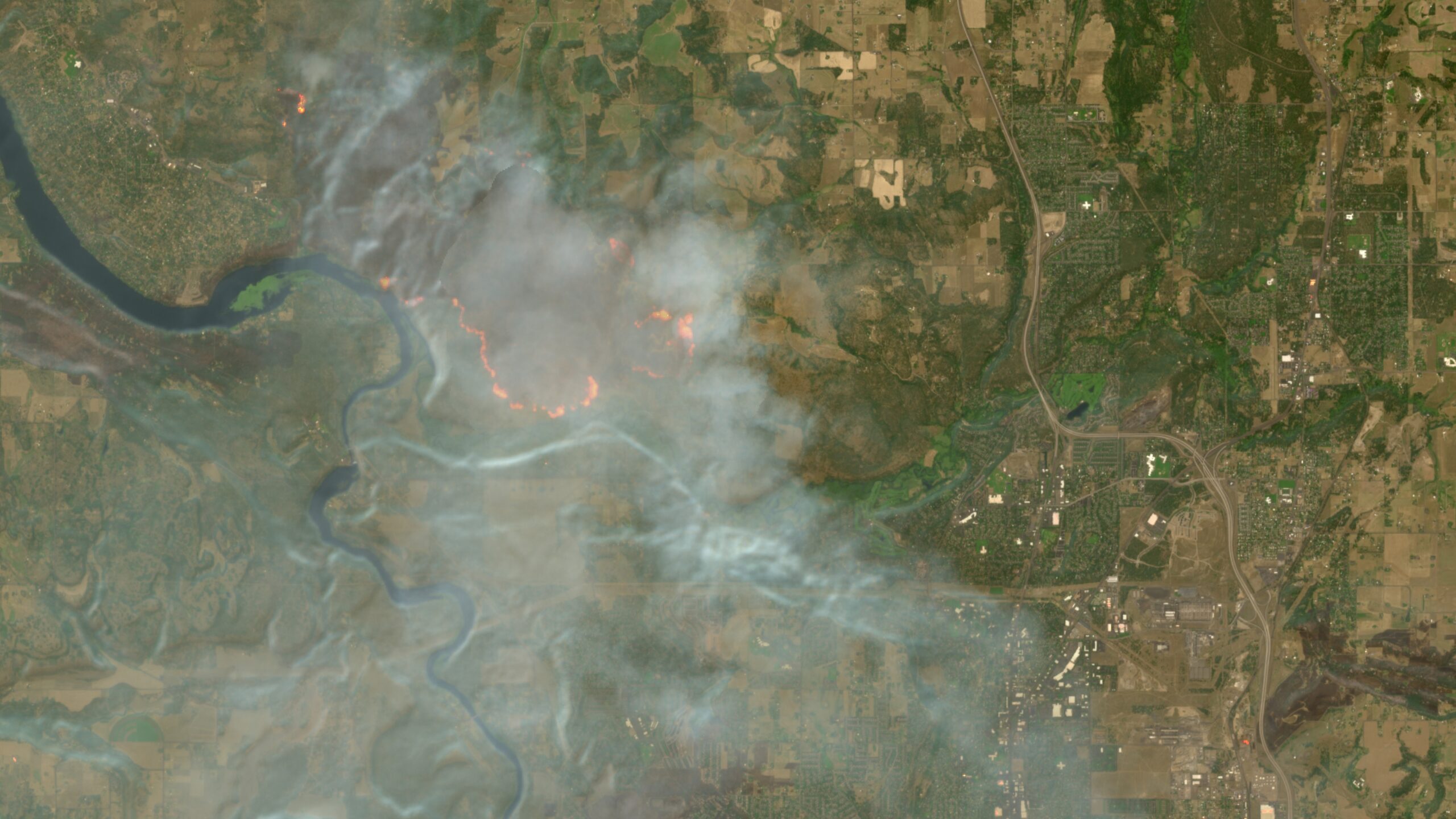
Copernicus Browser adds wildfire visualization amid record wildfire season.
The wildfires afflicting communities across the world can now be tracked more easily by anyone using Europe’s free and open satellite imagery service—all thanks to a wildfire visualization script originating from nearly a decade ago.
The Copernicus B... [2869 chars]